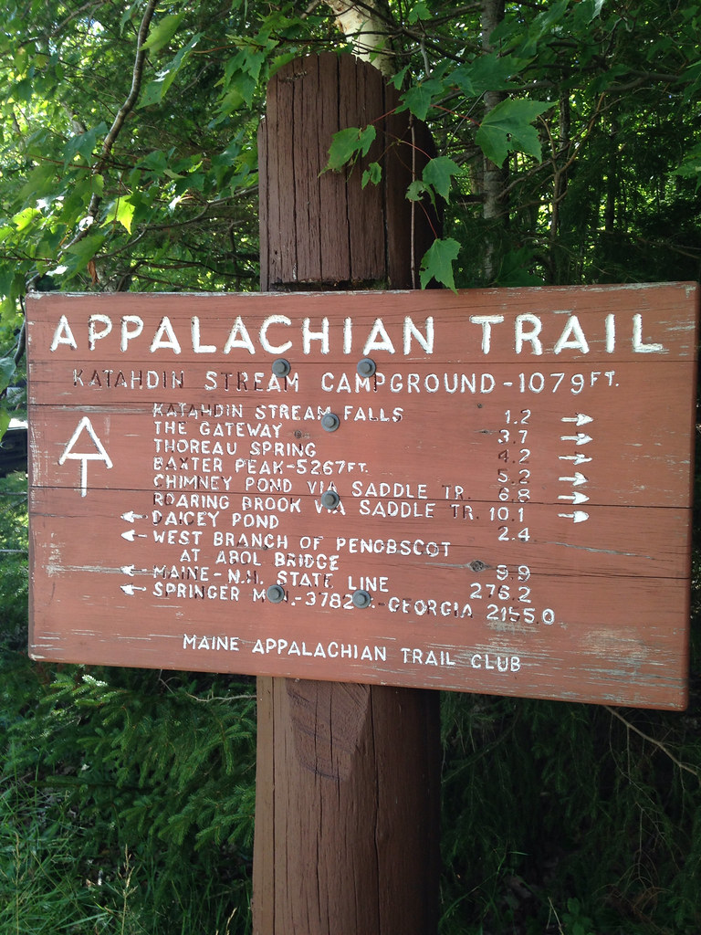
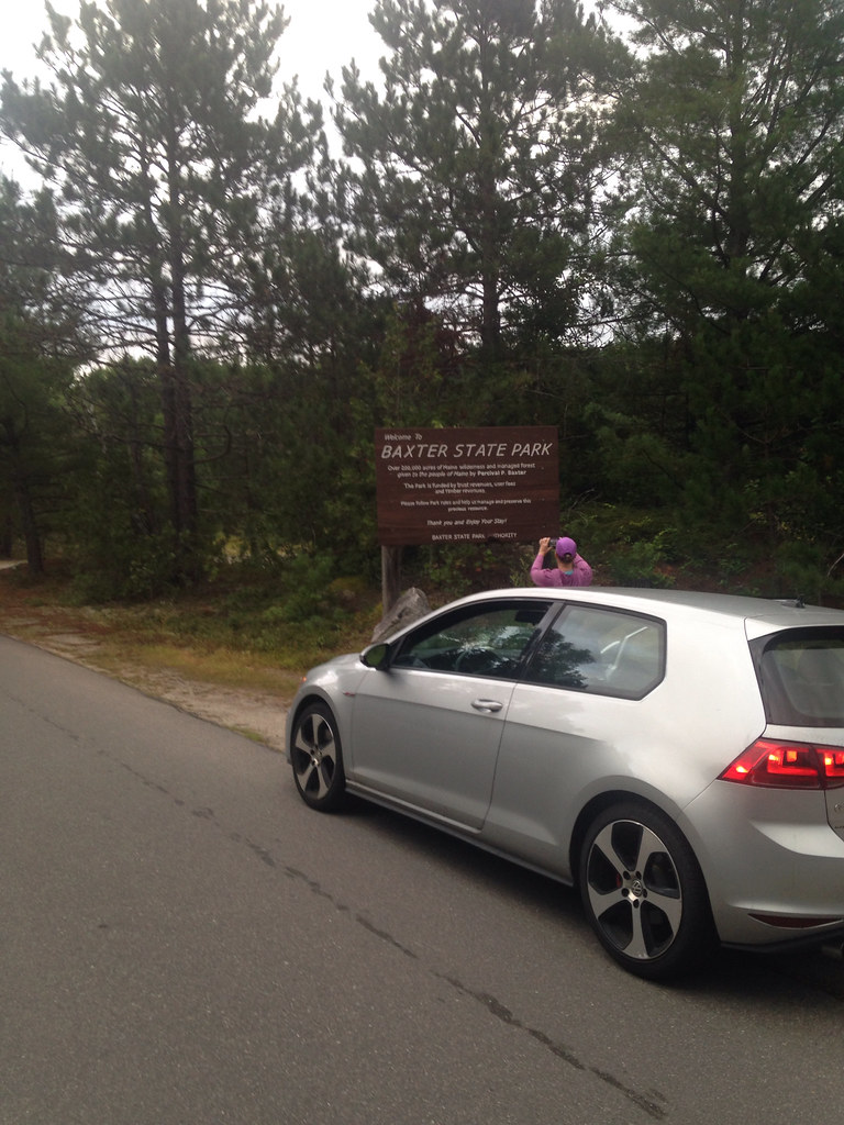
I left the champagne at home and did the Hunt Trail ascent of Mt Katahdin in Baxter State Park, northern Maine. I took a few photos along the way, most have some clouds as they rolled through pretty consistently throughout the day. The starting elevation was around 1,000 ft and the peak is nearly a mile high at 5270 feet. The whole route is about 5 miles each way and took my sister and I over 8 hours. There was some running, but quickly it became a hard scramble over boulders. A few folks were finishing their long sections of the Appalachian Trail which was great to see. And several folks commented on the Fells Point on my shirt.
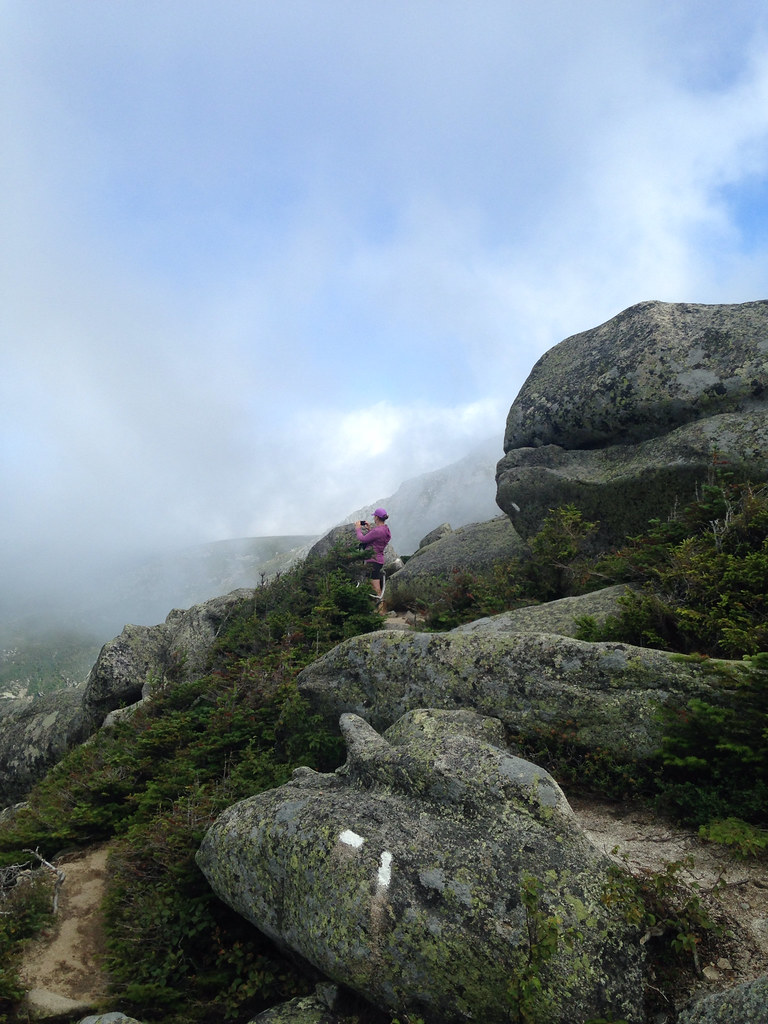
The climb out of the forest became a scramble. Not necessarily harder than the one I encountered in the Tetons, but more intimidating for sure. At one point we climbed up over a sort of ridge where it dropped off quickly on both sides. I worried about it on the way down, but somehow most of it was easier going down.
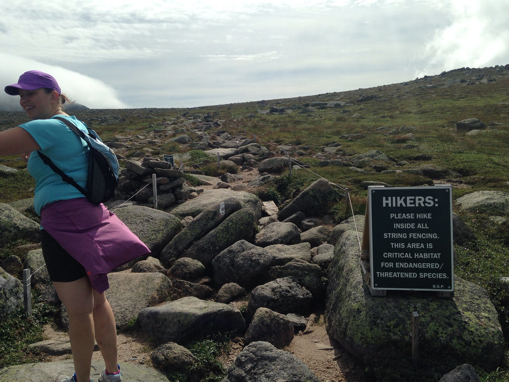
After quite of bit of scrambling, with a few iron bars to scale harder climbs it flatted out (relatively) into a broad, flat area. But it was still going upward. There was concern in this area about harming the endangered plant life up there.
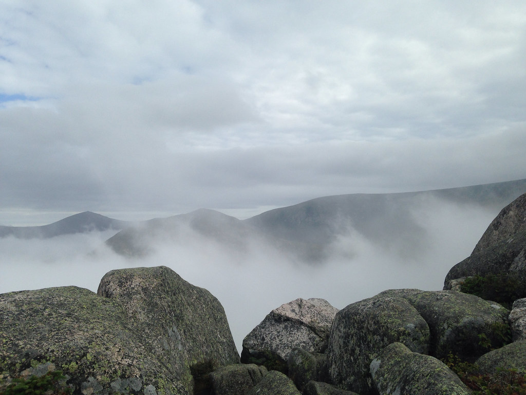
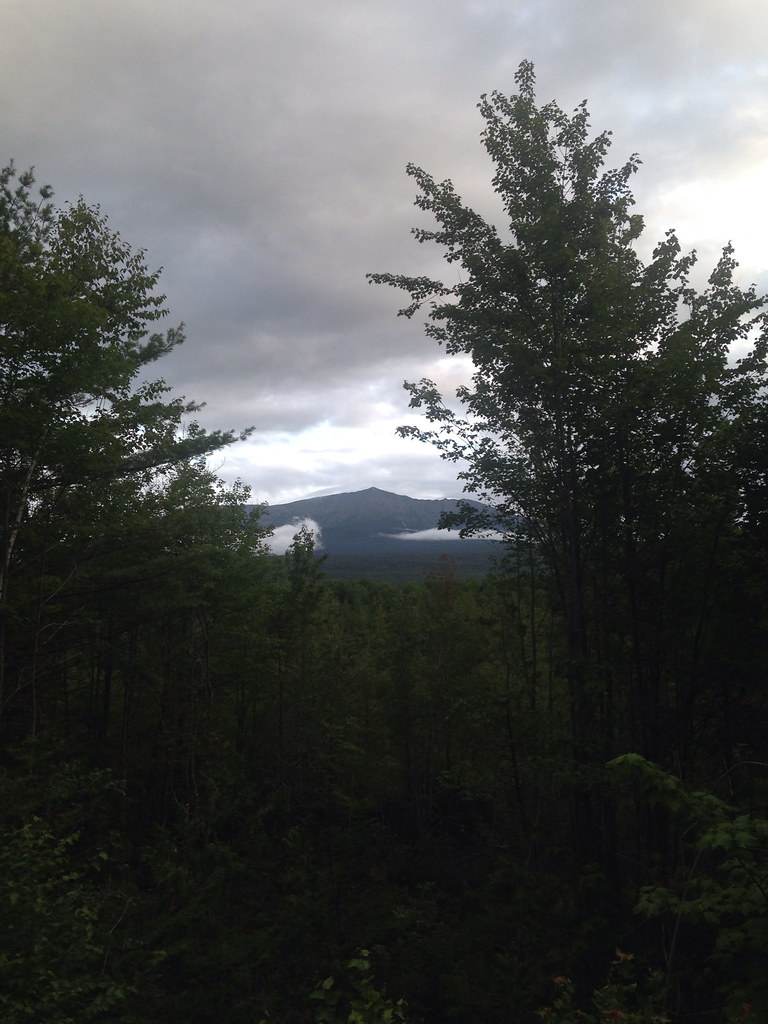
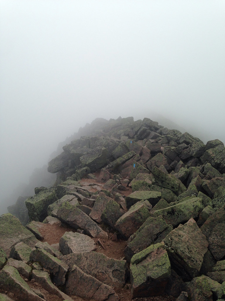
The clouds were constantly moving around us. At some points you could see them raising up as they hit the mountain. It was reminiscent of a volcano at times.
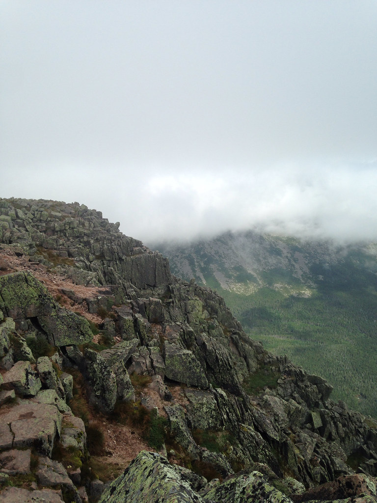
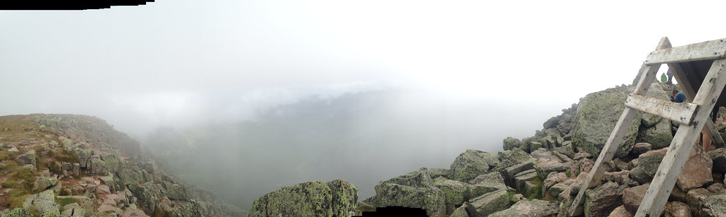
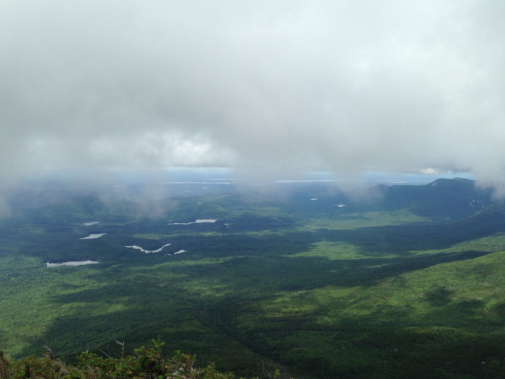
The top was something else. At the bottom we spoke to a ranger who said Nation Geographic had named it the second-best summit climb and I can see why. The far side fell away drastically down to a green valley. The peak extended as a ridge to the east, the aptly named 'Knife's Edge,' a thin pile of rocks. I wanted to try climbing a bit, but the way up was enough for me at the point.
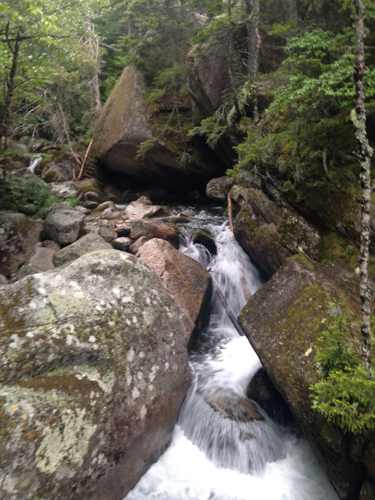
At the bottom was a waterfall that races along the path. When we reached this, we knew we were close to the bottom.
On to the next one. Season is running out, so maybe next year for Long's or a try again at Grand Teton.