Colorado
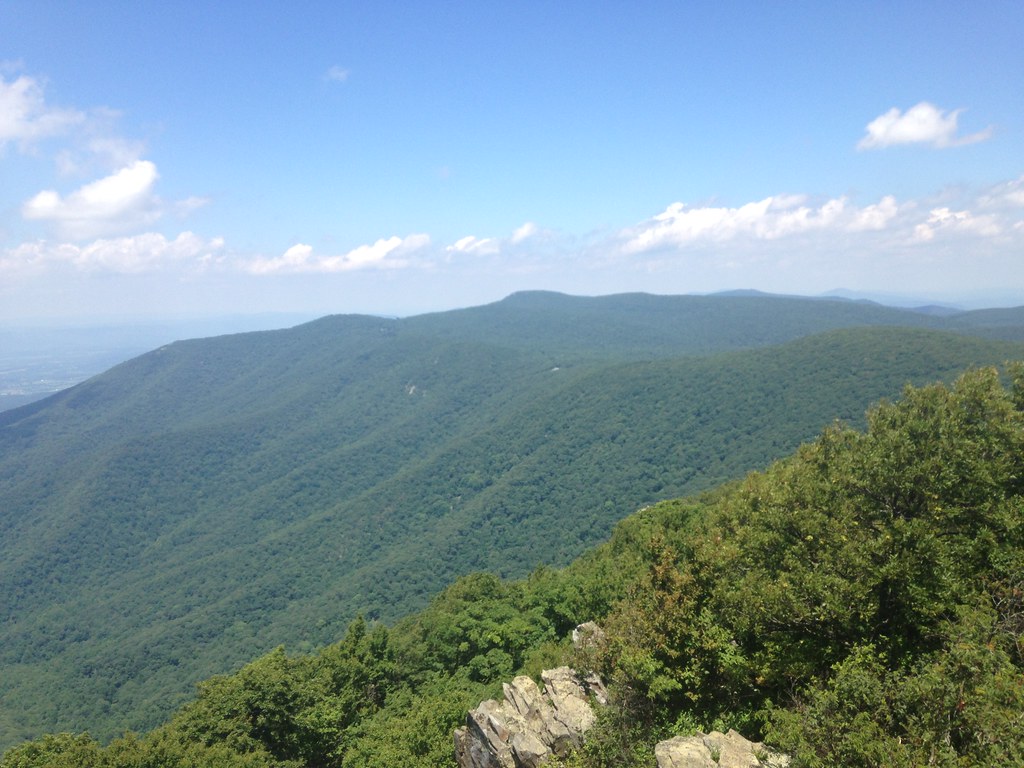
I landed Friday morning in Denver and met my dad and my sister (who flew in the night before). We headed over to REI and then the local running store to buy a headlamp (I had one, but the bulb died and I didn't know where to get a new one). We ate breakfast at a place called Syrup in Cherry Creek (hit the spot). Thinking we should be acquainted with the general area of the race we then headed through the pass to Granby. We had a hotel there, but it was still an hour or so from there to the race start in Gould, which indicates how remote the area of the race was. We drove up and took a gravel cutoff road that was supposed to save time. It had a little place to stop and overlook towards the Park Mountains to the west:

At this point I took a short jog and felt the 8,000+ plus elevation and was little worried that I was going to attempt 64 miles pretty much all above where I was. Hopefully a night of sleep up high would be what I needed (it had helped with the 14er White Mountain in California the year before). We checked in at the start area and drove out in the park where the aid station for 50 miles At this point my sister said she would join me if I was still moving at this point the next day.
We then drove back to Granby and had dinner at an Italian-type place. I had a beer and it was after 9pm so we headed back to the hotel. I don't know how much sleep I got, the usual waking up several times during the night. I had a the pack with two bottles and decided to wear the singlet with a shirt over top (it was not that cold, but I did shiver at the start). I made a drop bag for mile 30 with a change of socks and shoes and not much else, I was carrying the headlamp in case I needed it at the start. My family dropped me at the start area and went to park at the offsite spot. It was dark, but getting lighter:
The Race
The start elevation was slightly over 9,000 feet at the Gould Community Center. It had about 2 miles before it started seriously climbing as it headed towards the summit of Seven Utes Mountain. I had debated the idea of walking from the start (there was going to be plenty of walking), but everybody started with a bit of a shuffle so I went along and shuffled as well. It was pretty much daylight and the lamp was not ever needed. There was a water-only stop and I just kept going as I hadn't drank much at all. Then the climbing started. It was still very crowded, I was going back and forth with a number of folks. I was walking all the up and even stopping for a break on a couple of places. I took photos as my excuse to stop:

Covering the first 4 miles in roughly an hour I had a bit of time ahead on my schedule. I pushed to get to the top of Seven Utes and it was a great view from 11,500. The sun was coming up over the rocky mountains to the east and I could see where the course went generally down and around. The descent off Seven Utes was super steep, I had to slalom a bit just to make it without falling (and still wound up on my butt briefly). I had studied the elevation profile, but stupidly focused on the two big climbs and ignored the stuff between. It was all hard at that elevation and it went right back up 300 feet. People were getting really spread out now, but there was almost always a person or two around, passing back and forth.

I was hoping for an aid station and to see my family who were going to be at mile 10. It was a short walk in for them to meet on the course. The course was going down steadily and it was right up against the highest of the Never Summers--Richthofen and the spectacular Nokhu Crags. At the foot of these is Lake Agnes, complete with a rocky island.
And there was a photographer on the course here catching us at our most picturesque (and early enough we could muster a run to look like we were moving!)
My family appeared just over this ridge and I ran down to meet them and insisted they go a little further and check out the lake and view there. It was another 1/4 mile for them up trail. I think the area is up there with the Tetons for quality of mountains and view. The aid station was further than I though along a flat road which I attempted to run, but could only manage a minute or two on and then a couple minutes off. This established a bit of a threshold for my elevation tolerance--9,000 to a little over 10,000 I would be able to move ok. Anything above 10,500 I was going to struggle.
After the aid station the course climbed again. I was not really expecting this part to climb so much. I was walking pretty consistently and stopping to catch my breath. The views were still outstanding as we flanked Nokhu Crags from the south and then the east. I stopped to take a bunch of pictures:
Progress
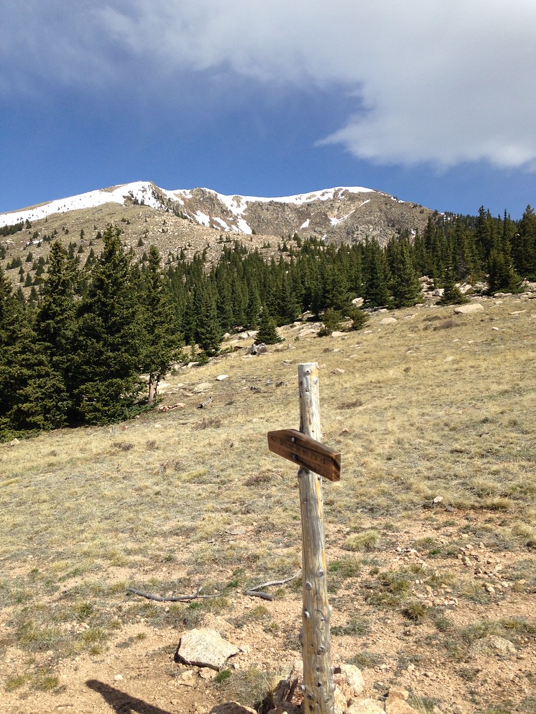
I had worked steadily through close to 15 miles. The first hour I had picked up the extra mile and I still held that time, averaging around 3 mile per hour for the next stretch. I was 5 hours and 16 miles covered by 10:30. The next aid station was 18 miles and then it went straight up to the highest point on the course North Diamond. My family was waiting again at the aid station. I probably should have stayed longer and had more to eat and drink, but I was still moving and wanted to roll with it. The sun was up and I was feeling the effects of the 'heat.' The first part of North Diamond was covered mostly with trees and I would rest in the shade as the climb got steeper. There were a lot of insects, which I did not expect at 11,000 feet. A couple that were running together were behind me (I had passed them before the aid station) were making better progress and passed me by, but were mostly in sight for the rest of the climb. Once we got above the treeline I struggled completely. I was traveling 30 feet and stopping to rest. It was also so steep sometimes the best strategy was to sit down, so I was sitting when clouds would pass. At one point from the bottom there was a view up the full hill and I could see all the people in a line moving up the slope, which was neat. Too tiny to show up in any pictures, though. Here is what did show up:


There were people at the top! On the right is a friend I made on the way up. We started down the other side together, but eventually I did not have the pace to keep up with him. Later he went off course and the sweep found him and brought him to the aid station at 40. The couple who also passed me were at 40, but that's for later.


From the far side of North Diamond. The elevation on top was 11,826 and the highest point on the course. The aid station at 18 was somewhere around 9,600 and it was less than 3 miles to reach the top. The steepest section was climbed about 1,000 feet in half a mile. Virtually as steep as it could be and still have humans climb it. The trail stretched along the ridge and stayed above 11,000 for 4 more miles. It was tough for a flatlander like me. There was a much-needed aid station at 23 mile before the big descent to Ruby Jewel. I really felt like I got my legs back on this descent. The slow climb up North Diamond hadn't really taken much more out of me, maybe even got something back because I was moving so slow. Once out of that 10,500 threshold I could move a bit and felt Ok. At Ruby Jewel I told my family I was pushing for 50 and I had a hour cushion before the cutoff time at that point. I was eating anything Nutella on the course this time.
Things get worse
I knew there were still at least 3 more climbs along the course from 30 miles onward. I don't think I appreciated how much they would still require out of me. I was down below 10,000 but it shot right back up pretty quick from Ruby Jewel. I was ok on the first part of the climb, but it crossed a pass and descended right back down. And when I looked around I was in a valley and the only way out was up and up. The sun was still over the mountains and draining the last amount of energy from me. I was ready to figure out an exit strategy.
After 35 miles, this just looks brutal. Elevation 11,100 feet and still going up.
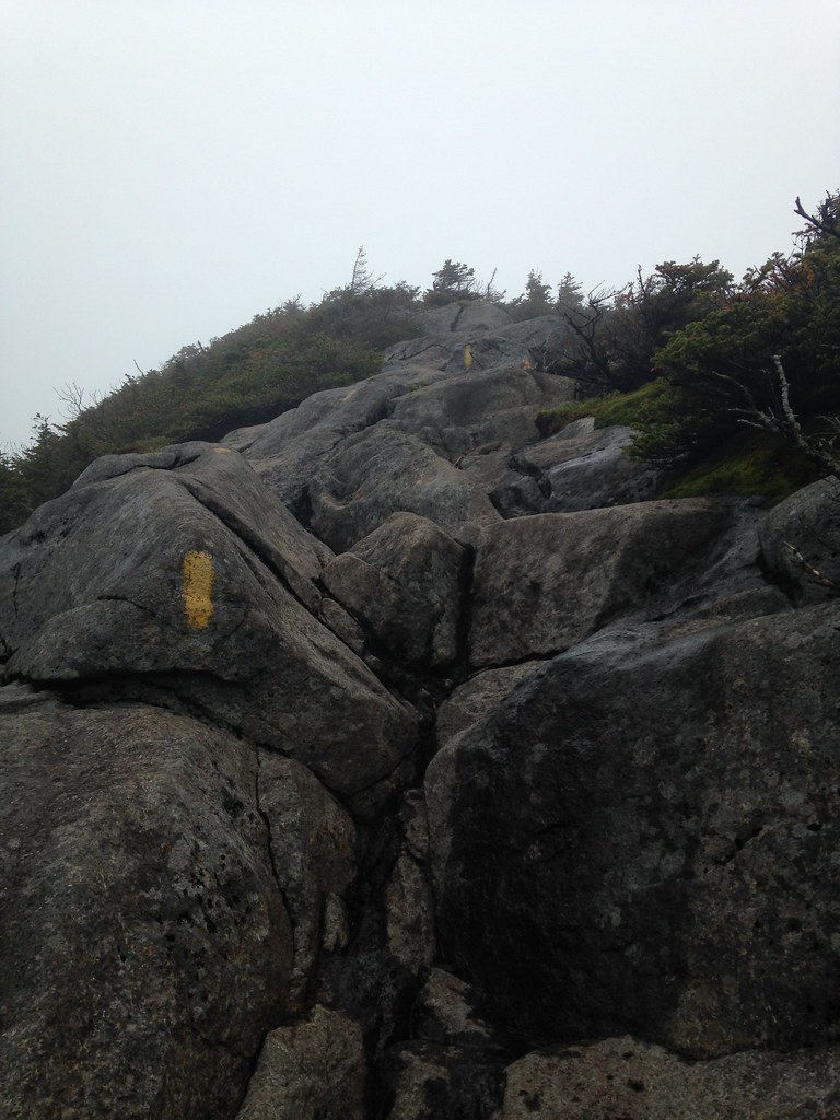
The course even crossed a pair of rock scrambles. I really had to step carefully to cross. Somebody behind me said they just stopped and sat and didn't want to further. I think the sweep collected them. I was thinking about my family and I didn't want them to be waiting at 50 and I stop somewhere else. I had a little battery life left and strangely got enough signal in the surrounded-by-mountains valley to pass the word. Apparently they had just settled down for a short nap before coming back to meet me later that evening. Oops. The battery died and these are the last pictures.


At this point I had decided to drop and I was trying to figure out the easiest way to do so. I knew there was an out-and-back section and I didn't want to have to go any extra distance. There were folks about 2 miles down this valley by Kelly Lake that were checking on people medically for anything extreme. But I could still walk I was just tired of doing it. They sent me along the course and I had to finish all the way to 40 where the aid station was a bit of a party with music and lights. I had taken 5 hours to go 10 miles from 30 and it was not much fun. They had a car acting as a shuttle to 50, but it was about to take some folks that had gotten there earlier. So I waited in the dark with a lot of folks I had seen around on the course. We had some hot broth, a PBR, and other usual aid station goodies. I tried to sit, but would have to stand up and walk around periodically. I asked about the cutoff and they said they were supposed to discourage anyone trying to go further at 9pm and that's just about when I reached the stop. So I either quite on my own accord or was a victim of the cut off, whichever sounds better.
Later I checked the profile and there is no way I would have made the 1,000 foot climb in 2 miles that constituted the out-and-back. It just looked brutal. I confess I did feel a bit sad when I saw folks with their headlamps on the course trying to finish it out as I was being shuttled off the course.


